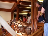
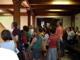
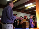
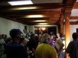
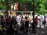
Riders gather at City Hall third floor diorama
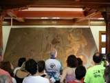
The historical diorama, created in 1976, depicts Cambridge in April 1776
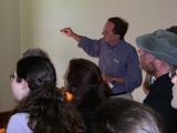
Cambridge Historical Commission Executive Director, Charles Sullivan, orients the riders to Cambridge geography in 1776
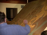
Cluster of Newtowne buildings is at what's now Harvard Square
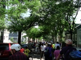
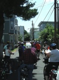
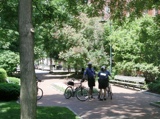
Well underway and onto Norfolk Street, where a stopped utility truck creates a unexpected bottleneck
On York Place, heading towards Cardinal Medeiros Avenue
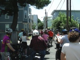
On York Place, waiting for cross traffic to clear
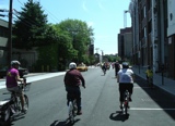
On Rogers Street, heading towards Sixth Street. The new police station is to be in the building to the right of the stop sign
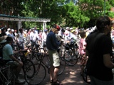
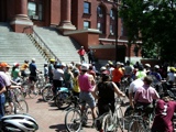
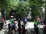
First stop at Centanni Way plaza behind the old Middlesex County Court House
Robert Winters filling in as speaker
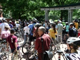
Bike Patrol strategizing prior to next leg of tour
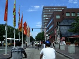
Rolling down Main Street towards Ames in Kendall Square
Stopping at Hoyt Field between River and Western at Gilmore Street, where houses lean a bit
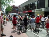
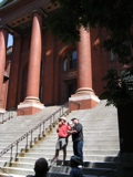
Stopping on Winthrop Street in Harvard Square, site of original Newtowne settlement